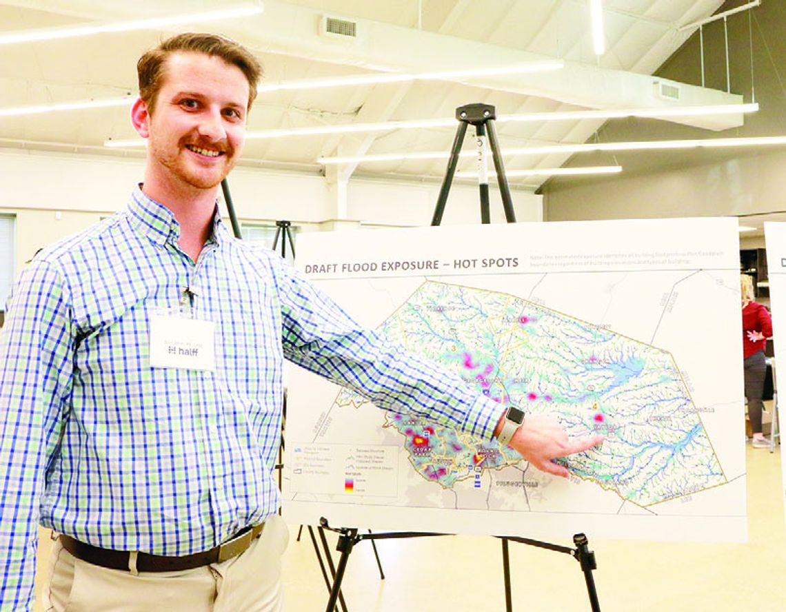
Much of the information about the potential for local creeks and ponds to flood through neighborhoods and wash out roads has been outdated for decades, but a new study being done by Williamson County and Halff infrastructure consulting firm is putting the latest data in the public’s hands.
“The bottom line is to try the best we can to save lives and protect property. That’s what it boils down to,” said David Zwernemann, Williamson County floodplain manager. “If we can have better awareness from this flood study on where the flood exposures are and we can relay them to the public, then we’ll all have a better understanding.”
Zwernemann said the information regarding potential for roads to wash out will also be helpful to first responders and emergency crews.
County personnel joined representatives from Halff at a public meeting in Taylor Wednesday, June 5, to discuss the findings of the newest data with the public and show people how to access the interactive website that shows flood data pertaining to individual properties.
“This study is prompted by new rainfall data released in 2018 by the National Oceanic and Atmospheric Administration. It showed there was more intense and stronger storms occurring in this area,” said Clint Smith, the engineer heading the project for Halff.
The updated information is commonly referred to as the Atlas 14 data.
“While the last Federal Emergency Management Administration maps were published in 2019, some of those models weren’t actually from 2019 they were from 1970, 2002, 2012. The previous studies weren’t using this new rainfall data we have,” Smith said.
The objective is to show where current flood risks are located through mathematically modeling waterways and streams using the latest rainfall and topographic data. The heavy growth and development in the county affects land elevation and permeability, which also influence flooding and is being taken into account in this study.
The data is formed around the concept of an extreme rain and flooding event that has a one percent chance of occurring in any given year. Smith said that while the county was seeing a one percent chance of eight to 10 inches of rain as a maximum, the new study shows that 11 to 13 inches of rain over a 24-hour period may be the new potential.
“At the end of this study we’re going to have a better understanding of where we’re seeing this flood risk,” Smith said. “We’re going to know what roads are impacted, what buildings, what bridges, any kind of structure or infrastructure that can be impacted by floods.”
He added that the data will also be used for future developers and permitting processes as the best available data.
Knowing where the risks are is just one of the project’s objectives. Smith said the study will also explore potential flood control solutions.
“We’re going to do some conceptual flood mitigation design at the end of this,” he said. “We’re going to find some hot spots in the county where we’re noticing a lot of buildings or homes that have a lot of flood exposure and talk about how to mitigate it.”
The county expects to hold more public meetings around the end of the year to present the final study findings and potential mitigation processes. Meanwhile, residents of the county can keep up to date with the latest findings by accessing the website at wilcotx. gov/475/atlas-14.


