Extreme temperatures are forecast for Taylor.
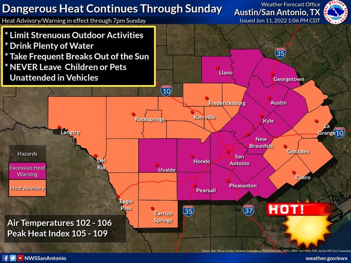
The National Weather Service (NWS) has issued an Excessive Heat Warning for Taylor and all of Williamson County from 1 p.m. Saturday, June 11, to 7 p.m. Sunday, June 12. The new alert upgrades a previously issued Heat Advisory for Williamson County and surrounding communities, and a Heat Advisory remains in effect further outward in central Texas.
Temperatures are expected to reach 103-107 degrees with heat indices of 105-110. The NWS warns that the extreme heat and humidity increases likelihood of heat-related illnesses, especially with outdoor work and activities.
As of 1 p.m. Saturday, meteorologists' main concern was for Sunday.
"However, 103-106 degree temperatures are possible (Saturday) for isolated locations in the Excessive Heat Warning," said the NWS Austin/San Antonio Office. "Remember to drink plenty of water and take frequent breaks out of the sun. Never leave young children, the elderly or pets unattended in vehicles."
The warnings come ahead of a likely dry week with temperatures remaining near the century mark.
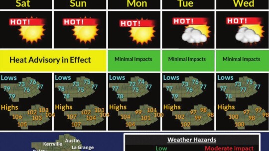
“Well-above normal, possibly record high temperatures continue on Sunday and Monday (June 13). Afternoon heat index values will be elevated,” said the NWS Austin/San Antonio Office. “An additional Heat Advisory is possible on Monday. Above normal temperatures continue the remainder of next week. Continue to take heat precautions. No rain is expected.”
Temperatures in Taylor Sunday are expected to reach 104 degrees with a heat index of 106. Monday is expected to reach at least 100 degrees. Highs might stay to 98-99 degrees Tuesday through Thursday, June 14-16.
Meanwhile, southeasterly winds are forecast at 10-20 mph with gusts up to 30 mph through Wednesday. Nights are expected to have lows in the mid 70s heading into next weekend.
Taylor had escaped triple-digit heat this year through June 9, according to Taylor Texas Weather Network’s official climate data. The city came close Monday, June 6, with a high temperature of 99.8 degrees before hitting 100 degrees on Friday, June 10.
For more weather, visit http://www.taylortxwx.net.
How to keep safe in the heat
The National Weather Service advises for everyone to drink plenty of fluids, stay in an air-conditioned room, stay out of the sun and check up on relatives and neighbors. Young children and pets should never be left unattended in vehicles under any circumstances.
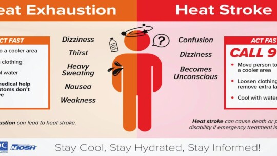
Take extra precautions if you work or spend time outside. When possible reschedule strenuous activities to early morning or evening. Know the signs and symptoms of heat exhaustion and heat stroke. Wear lightweight and loose fitting clothing when possible.
To reduce risk during outdoor work, the Occupational Safety and Health Administration recommends scheduling frequent rest breaks in shaded or air conditioned environments. Anyone overcome by heat should be moved to a cool and shaded location.
Heat stroke is an emergency. Call 9-1-1.
Dust too?
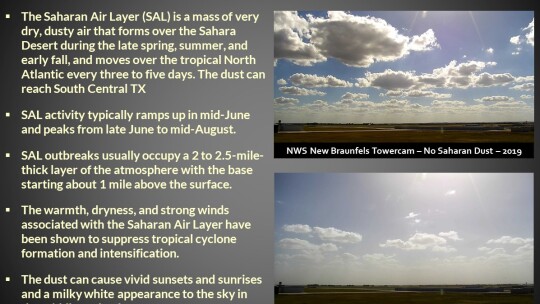
On top of hot air, residents with allergies or sensitive health issues might want to keep track of potential dusty air as well in the coming days.
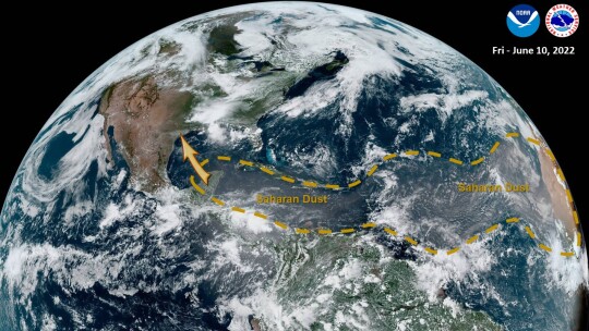
"A large plume of Saharan Dust stretches from the Yucatan Peninsula to Africa," said NWS. "Model guidance suggests the dust may arrive into south central Texas Sunday and persist into next week."
NOTE: This article has been updated since its print version in the June 12 edition of the Taylor Press.

